Taehwagang River (태화강)
Published 2010-11-22 Updated 2020-09-04 View 19203
We provide various information such as the website, contact information, usage information, and location (map) of Ulsan Nam-gu, Taehwagang River (태화강) using public data of Korea Tourism Organization.
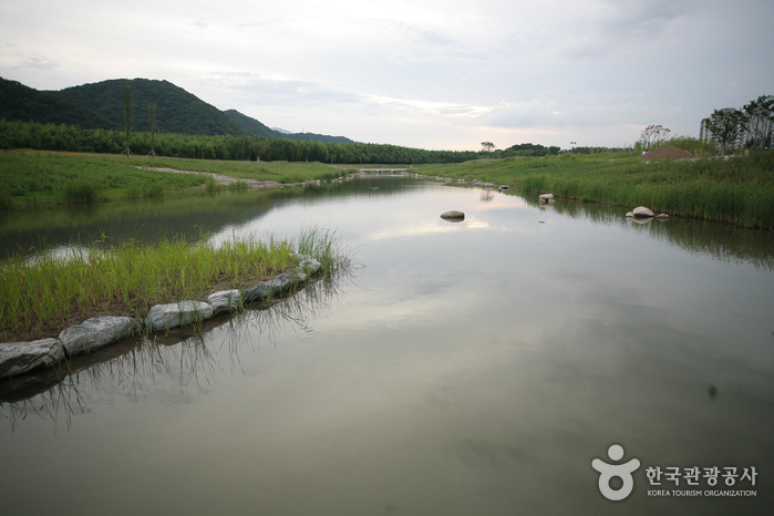
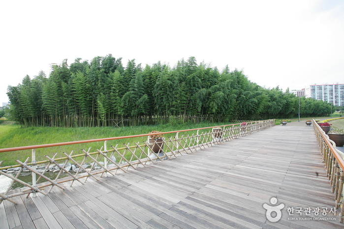
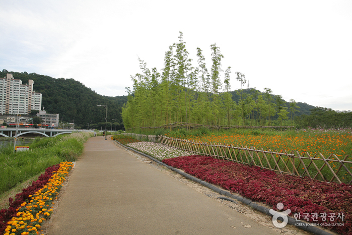
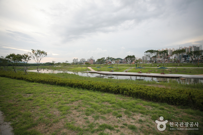
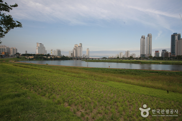
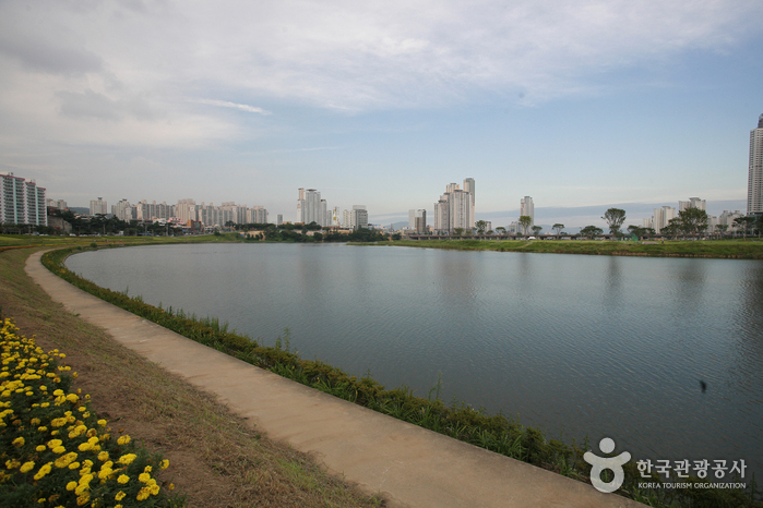
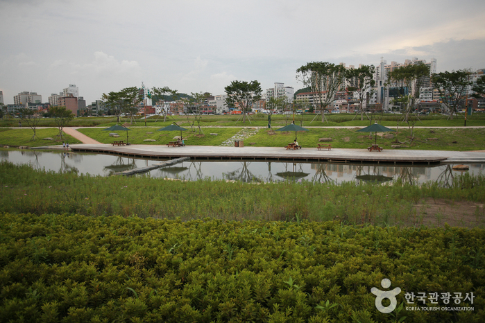
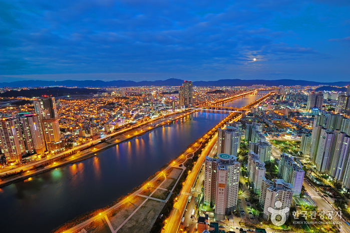
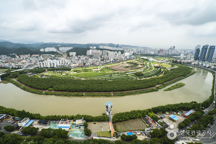
Taehwagang River cuts across the city of Ulsan from the west to east and originates from Tapgolsaem Spring on Baegunsan Mountain. The 47.54-kilometer-long river passes through downtown Ulsan and empties out into Ulsan Bay on the East Sea. Not just a symbol of pride for the people of Ulsan, the river has long since been a precious commodity that has played a pivotal role in Ulsan culture and history. There are several attractions and amenities near the river such as a bamboo forest park, grassy fields, a pampas grass colony, trails, and exercise facilities. The river itself is home to many freshwater fish, while the riverside area is a famous habitat for migratory birds.
Telephone
+82-52-120
Homepage
Detailed Information
Restrooms
Available
Address [Map]
Mugeo-dong, Nam-gu, Ulsan


Search
![Homeplus - Ulsan Nam-gu Branch [Tax Refund Shop] (홈플러스 울산남구)](http://tong.visitkorea.or.kr/cms/resource/96/2884296_image2_1.jpg)
Homeplus - Ulsan Nam-gu Branch [Tax Refund Shop] (홈플러스 울산남구)
148, Suam-ro, Nam-gu, Ulsan

Cheoyongam (처용암)
Hwangseong-dong, Nam-gu, Ulsan
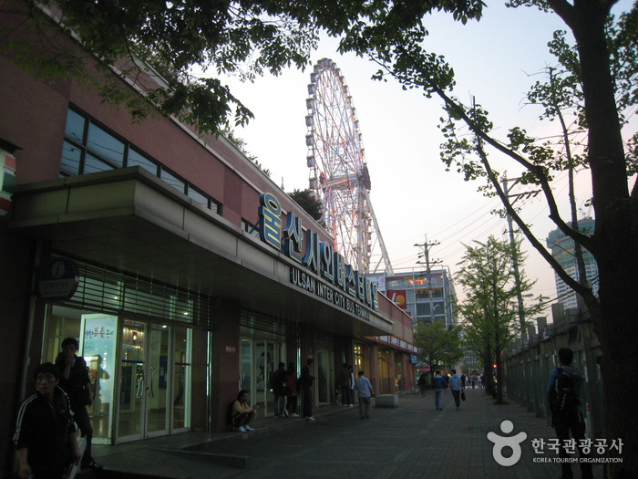
Ulsan Intercity Bus Terminal (울산시외버스터미널)
133, Hwahap-ro, Nam-gu, Ulsan
![Program - Newcore Outlet Ulsan Branch [Tax Refund Shop] (프로그램뉴코아아울렛울산)](http://tong.visitkorea.or.kr/cms/resource/05/2884205_image2_1.jpg)
Program - Newcore Outlet Ulsan Branch [Tax Refund Shop] (프로그램뉴코아아울렛울산)
217, Samsan-ro, Nam-gu, Ulsan
![Lotte Himart - Ulsan Branch [Tax Refund Shop] (롯데하이마트 울산점)](http://tong.visitkorea.or.kr/cms/resource/87/2884287_image2_1.jpg)
Lotte Himart - Ulsan Branch [Tax Refund Shop] (롯데하이마트 울산점)
74, Samsan-ro, Nam-gu, Ulsan