Woraksan National Park (월악산국립공원)
Published 2003-01-08 Updated 2021-02-26 View 34017
We provide various information such as the website, contact information, usage information, and location (map) of Chungcheongbuk-do Jecheon-si, Woraksan National Park (월악산국립공원) using public data of Korea Tourism Organization.
Woraksan National Park is located along the Baekdudaegan Mountain Range between Sobaeksan and Songnisan Mountains. The rugged mountain is softened by the waterfalls and small ponds found within the valleys. The area was designated as a national park on December 31, 1984. The mountain is surrounded by Chungjuho Lake to the north, the Eight Scenic Views of Danyang and Sobaeksan Mountain to the east, and Mungyeongsaejae Pass and Songnisan Mountain to the south. The main peak of Woraksan National Park is Yeongbong Peak, reaching an altitude of 1,097 meters above sea level. The path there is steep, with sections of rock stretching 150 meters in x_height. There is also a 4-kilometer-long path circling the base rock.
Telephone
+82-43-653-3250
Homepage
Detailed Information
Available Facilities
[Campgrounds] Datdonjae Full-option Camping Zone, Songgye Auto-camping, Datdonjae Campsite, Deokju Campsite, Yongha Campsite
[Visitors' Centers] Songgye Information Center, Samun-ri Information Center, Deokju Information Center, Sangseonam Information Center
Restrooms
Available
Parking Fees
Small vehicles (less than 1,000 cc): 2,000 won
Mid-sized vehicles (more than 1,000 cc, under 25 passengers, under 4 tons): 4,000 won (peak season: 5,000 won)
Large-sized vehicles (25 passengers or more, 4 tons or more): 6,000 won (peak season: 7,500 won)
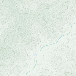
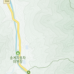
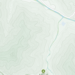
Address [Map]
1647, Mireuksonggye-ro, Jecheon-si, Chungcheongbuk-do
Search

Jecheon Intercity Bus Terminal (제천(시외)스터미널)
21, Chilseong-ro 10-gil, Jecheon-si, Chungcheongbuk-do

Dukkeobi Sikdang (두꺼비식당)
21, Uirim-daero, 20-gil, Jecheon-si, Chungcheongbuk-do

Sagwanamu Jip (사과나무집)
2, Bibong-gil, Jecheon-si, Chungcheongbuk-do

Daemyeong Sutbul Saenggogi (대명숯불생고기)
24, Uirim-daero, 11-gil, Jecheon-si, Chungcheongbuk-do

Korean Medicine Bio Fair in Jecheon (제천한방바이오박람회)
19, Hanbang expo-ro, Jecheon-si, Chungcheongbuk-do


