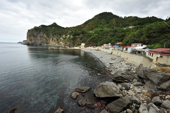
Nari Basin (나리분지)
Published 2004-06-29 Updated 2021-05-13 View 13200
We provide various information such as the website, contact information, usage information, and location (map) of Gyeongsangbuk-do Ulleung-gun, Nari Basin (나리분지) using public data of Korea Tourism Organization.
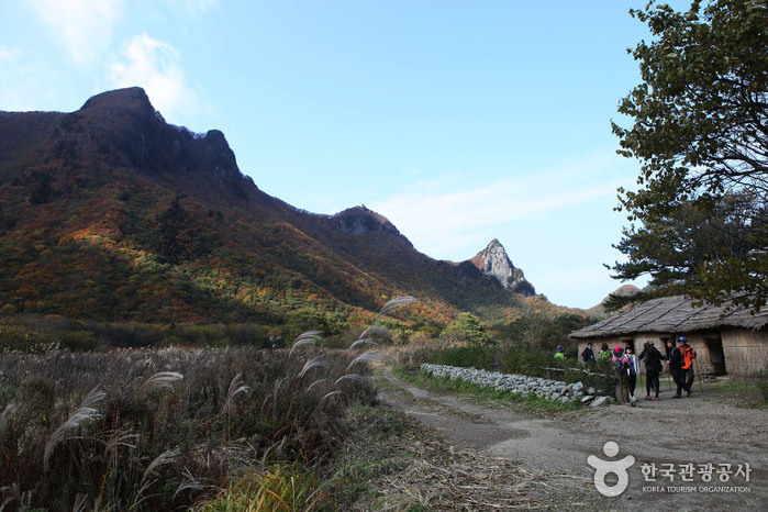
Originally a caldera formed on the northern Seonginbong Peak, Nari Basin is the only flatland on Ulleungdo Island. The lava flow from the volcanic eruption created two other craters, which were turned into Nari Village in the northeast and Albong Village, now uninhabited, in the northwest. Records were found that the island was inhabited since the Usan-guk period, but the islanders had to move out of the island in the earlier Joseon period until a new settlement policy was enforced later on.
Telephone
+82-54-790-6423
Homepage
Address [Map]
Nari-gil, Ulleung-gun, Gyeongsangbuk-do
Search
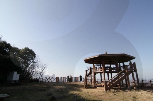
Seokpo Observatory (석포전망대)
Cheonbu-ri, Ulleung-gun, Gyeongsangbuk-do
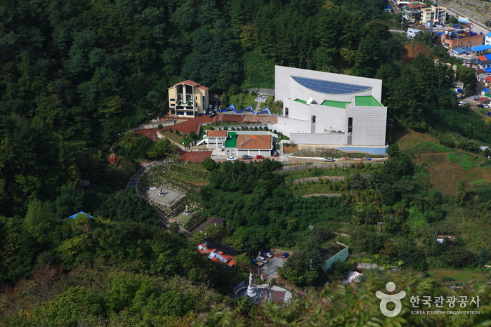
Dokdo Museum (독도 박물관)
90-17, Yaksuteo-gil, Ulleung-gun, Gyeongsangbuk-do
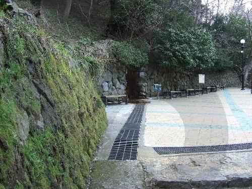
Dodong Mineral Spring Park (도동약수공원)
Dodong-ri, Ulleung-gun, Gyeongsangbuk-do
Hakpo Coast (학포해안 (울릉도, 독도 국가지질공원))
166-29 Hakpo-gil, Seo-myeon, Ulleung-gun, Gyeongsangbuk-do
![Seonginbong Primeval Forest [National Geopark] (성인봉 원시림 (울릉도, 독도 국가지질공원))](http://tong.visitkorea.or.kr/cms/resource/57/2370057_image2_1.jpg)
Seonginbong Primeval Forest [National Geopark] (성인봉 원시림 (울릉도, 독도 국가지질공원))
Namyang-ri, Ulleung-gun, Gyeongsangbuk-do