Ulju Gajisan Provincial Park (가지산도립공원(울주))
Published 2012-11-14 Updated 2021-10-26 View 31536
We provide various information such as the website, contact information, usage information, and location (map) of Ulsan Ulju-gun, Ulju Gajisan Provincial Park (가지산도립공원(울주)) using public data of Korea Tourism Organization.

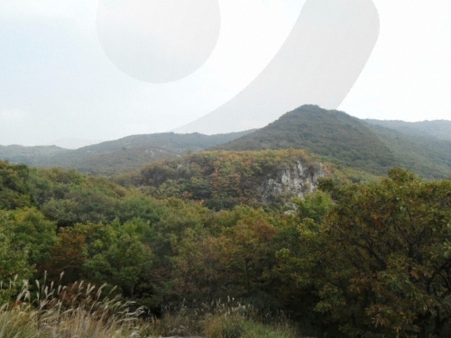
The residual mountains of the Baekdudaegan Mountain Range form ten tall peaks in the Yeongnam region. Dubbed the "Yeongnam Alps," these peaks include Chwiseosan (1,092 meters, also called Yeongchwisan), Sinbulsan (1,209 meters), Cheonhwangsan (1,189 meters), Unmunsan (1,188 meters), Goheonsan (1,033 meters), Munboksan (1,013 meters), and Gajisan mountains. This group of mountains is uniquely covered with reeds. Gajisan Mountain is the tallest of this group, rising above mountains almost 1,000 meters high.
An attraction of hiking in Gajisan Mountain is that various large, oddly shaped rock peaks can be seen from the mountain trail. To the east of the mountain is Seongnamsa Temple built during the Silla Kingdom. Today, only Buddhist nuns remain, but there are relics like the stupa of Seongnamsa Temple (Treasure) and a three-story stone pagoda.
Telephone
+82-52-356-1915
Homepage
Detailed Information
Hiking Course
[Ulsan]
Course 1: Unmullyeong, Gwibawi Rock, Ssalbawi Rock, peak
Course 2: Seoknam Tunnel, Gajisan Mountain jungbong, peak
Course 3: Seoknamsa parking lot, Seoknamgogae hill, Gajisan Mountain jungbong, peak
[Miryang]
Course 1: Seoknam Tunnel, Gajisan Mountain jungbong, peak
Course 2: Hobakso, Seoknamgogae hill, Gajisan Mountain jungbong, peak
[Cheongdo]
Course 1: Unmullyeong, Gwibawi Rock, Ssalbawi Rock, peak
Course 2: Unmunsa Temple, Sariam parking lot, Simsimgyegok Valley, Araetjae Pass, peak
Course 3: Unmunsa Temple, Sariam parking lot, Haksodaepokpo Falls, peak
Address [Map]
Sangbuk-myeon, Ulju-gun, Ulsan
Search
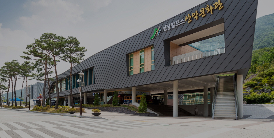
Yeongnam Alps Complex Welcome Center (영남알프스 복합웰컴센터)
103-8 Alpeuseuoncheon 5-gil, Sangbuk-myeon, Ulju-gun, Ulsan
Ulju Gajisan Provincial Park (가지산도립공원(울주))
Sangbuk-myeon, Ulju-gun, Ulsan
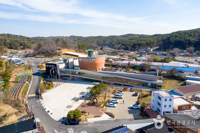
Oegosan Onggi Village (외고산옹기마을)
36, Oegosan 3-gil, Ulju-gun, Ulsan

Paraesopokpo Falls (파래소폭포)
200-78, Eoksaebeol-gil, Ulju-gun, Ulsan
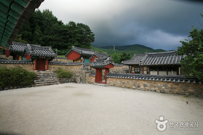
Chisanseowon Confucian Academy (치산서원)
7, Chisullyeong-gil, Dudong-myeon, Ulju-gun, Ulsan