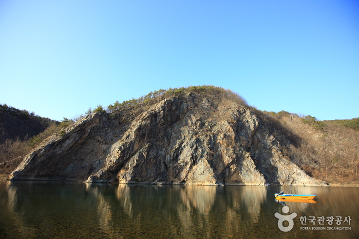
Jeokbyeokgang River (적벽강)
Published 2009-09-08 Updated 2021-02-01 View 6299
We provide various information such as the website, contact information, usage information, and location (map) of Chungcheongnam-do Geumsan-gun, Jeokbyeokgang River (적벽강) using public data of Korea Tourism Organization.
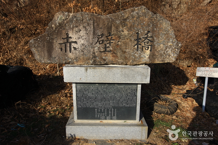
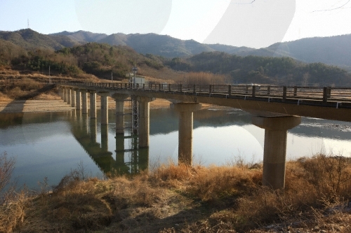
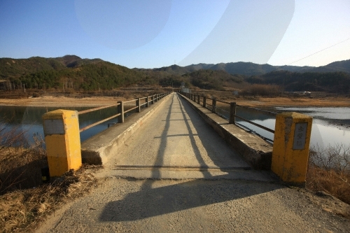
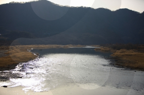
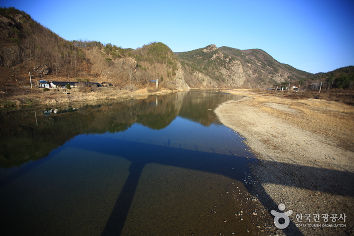
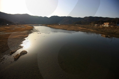
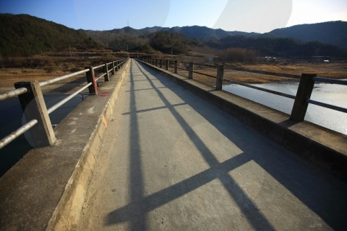
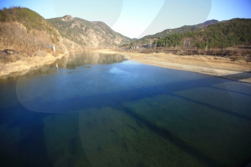
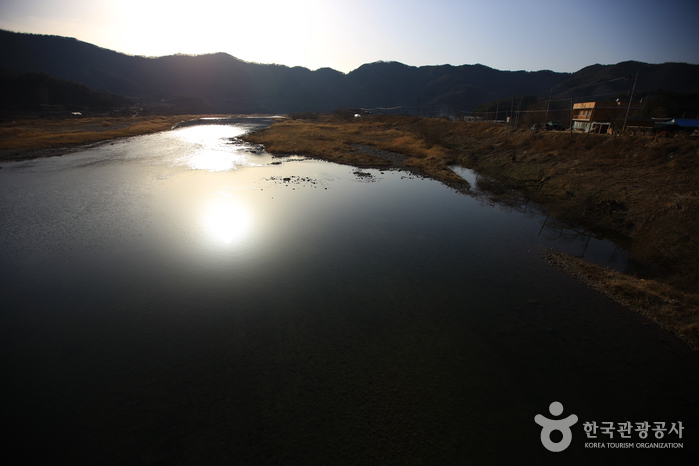
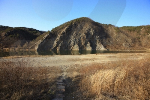
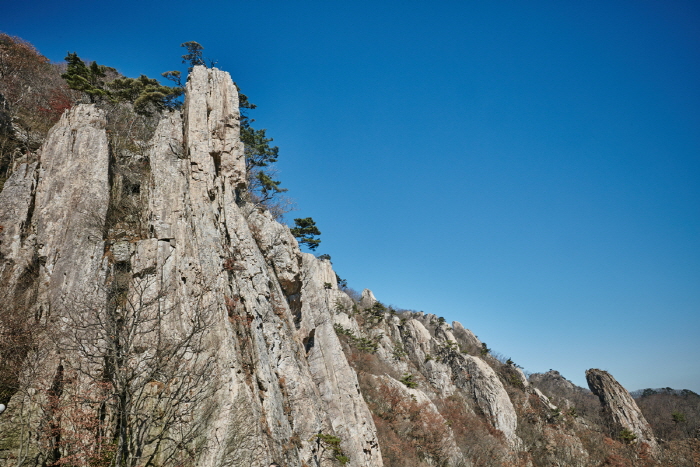
The primary source of the Geumgang River is a spring located on Ddeunbong Peak in Subun-ri, Jangsu-gun, Jeollabuk-do, which flows to the north. At Changnam, it changes direction and enters Bangu-ri, Buri-myeon, Geumsan-gun. From here, the river flows through steep mountains. At Sutong-ri, the precipitous cliffs of a mountain named Jeokbyeok tower proudly above, and where the river runs under these steep cliffs it is called the Jeokbyeokgang River.
Jeokbyeok literally means "red walls" in Korean. The Geumgang River under Jeokbyeok is as calm as a peaceful lake with long sandy shores. This riverbank is alive with beautiful flowers in spring, green pine trees in summer, and in fall, the green gives way to an autumnal tint, until lovely snowscapes blanket the area in winter.
Telephone
+82-41-750-2371
Homepage
Address [Map]
697, Jeokbyeokgang-ro, Geumsan-gun, Chungcheongnam-do
Search
Daedunsan Provincial Park (Geumsan Section) (대둔산도립공원 (금산))
2, Daedunsan-ro, Geumsan-gun, Chungcheongnam-do
Tomb of Seven Hundred Patriotic Martyrs (Geumsan) (금산 칠백의총)
50, Uichong-gil, Geumsan-gun, Chungcheongnam-do
Jeokbyeokgang River (적벽강)
697, Jeokbyeokgang-ro, Geumsan-gun, Chungcheongnam-do
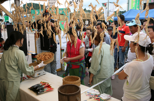
Geumsan Ginseng Market (금산인삼약령시장)
24, Insamnyakcho-ro, Geumsan-gun, Chungcheongnam-do
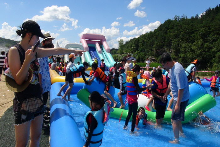
Geumgang Yeoul Festival (금강여울축제)
Geumgangnori Madang, Pyeongchon-ri, Buri-myeon, Geumsan-gun, Chungcheongnam-do